Liepāja from Above
Kurzeme, Latvia, November 2017
Google Maps, Yandex.Maps
This post features a small selection of aerial photos of Liepāja. Due to strong winds and a camera shake issue in cold temperatures, many of them didn't turn out well, so I'm posting those that managed to stay more or less unblurred.
The main street, just like in Jelgava, is called Big Street (Liela iela), and it also bore the name of Lenin during the Soviet era.
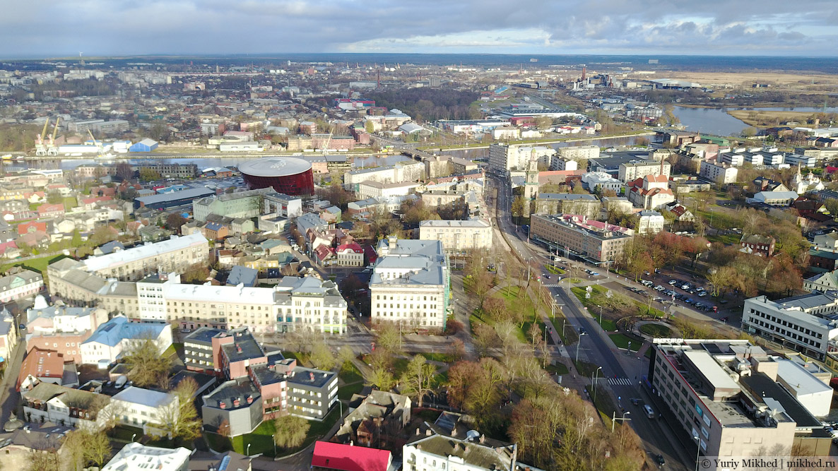
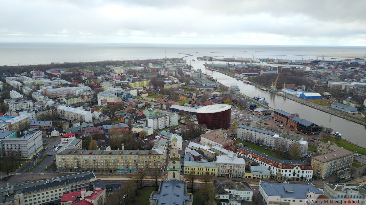
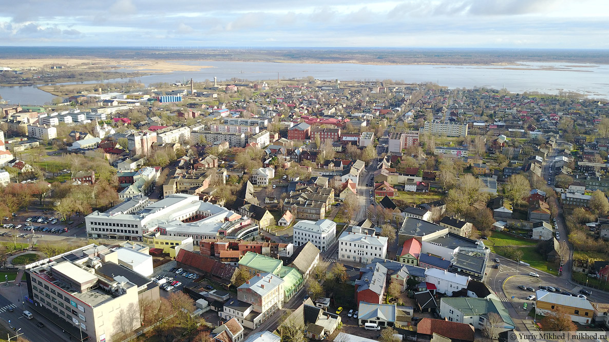
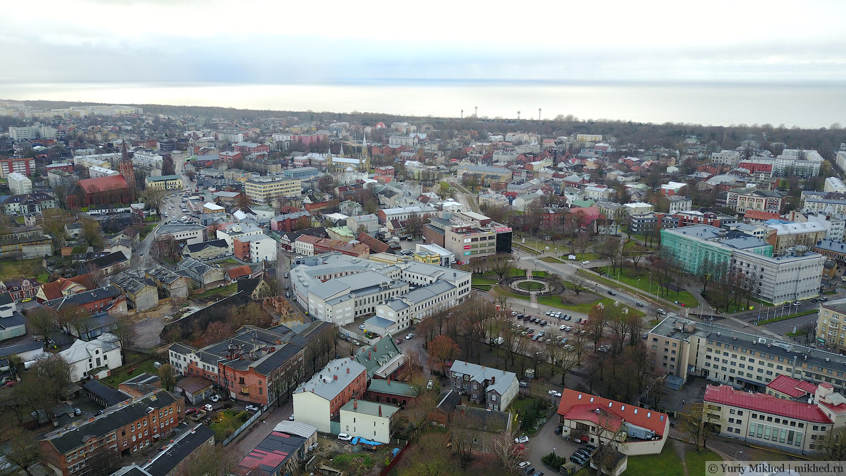
Centre of Liepāja.
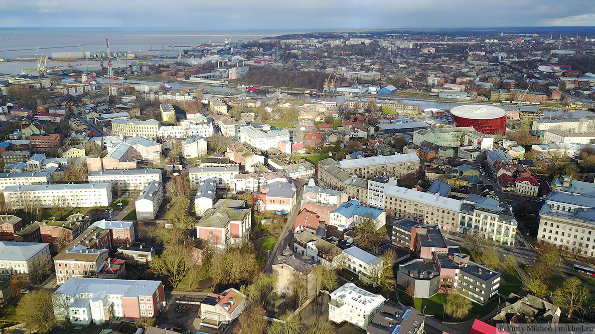
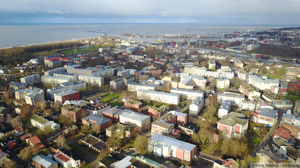
Tirdzniecības kanāls ("Trade Canal") connects the Baltic Sea and Lake Liepāja. The bridge and the northern part of the city. The port is visible in the background.
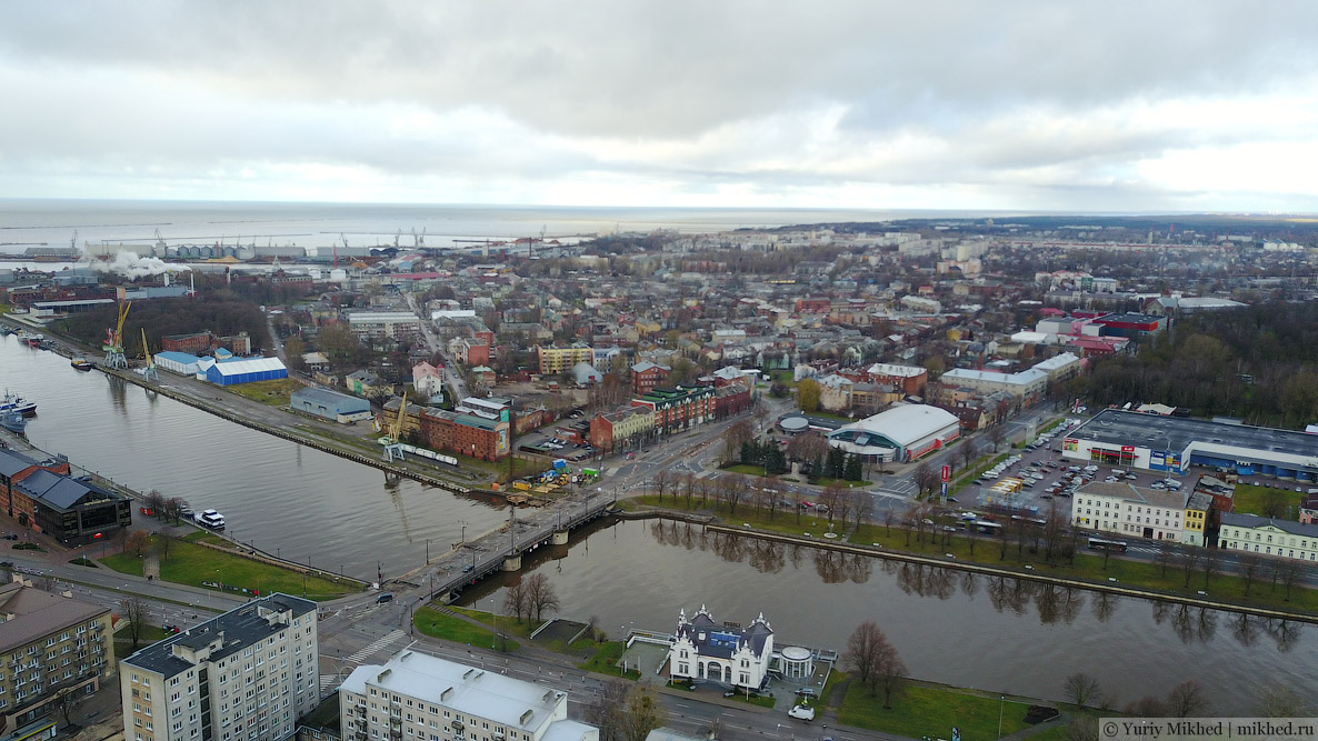
In the centre of the photo, you can spot small buildings with red roofs — this is the historical part.
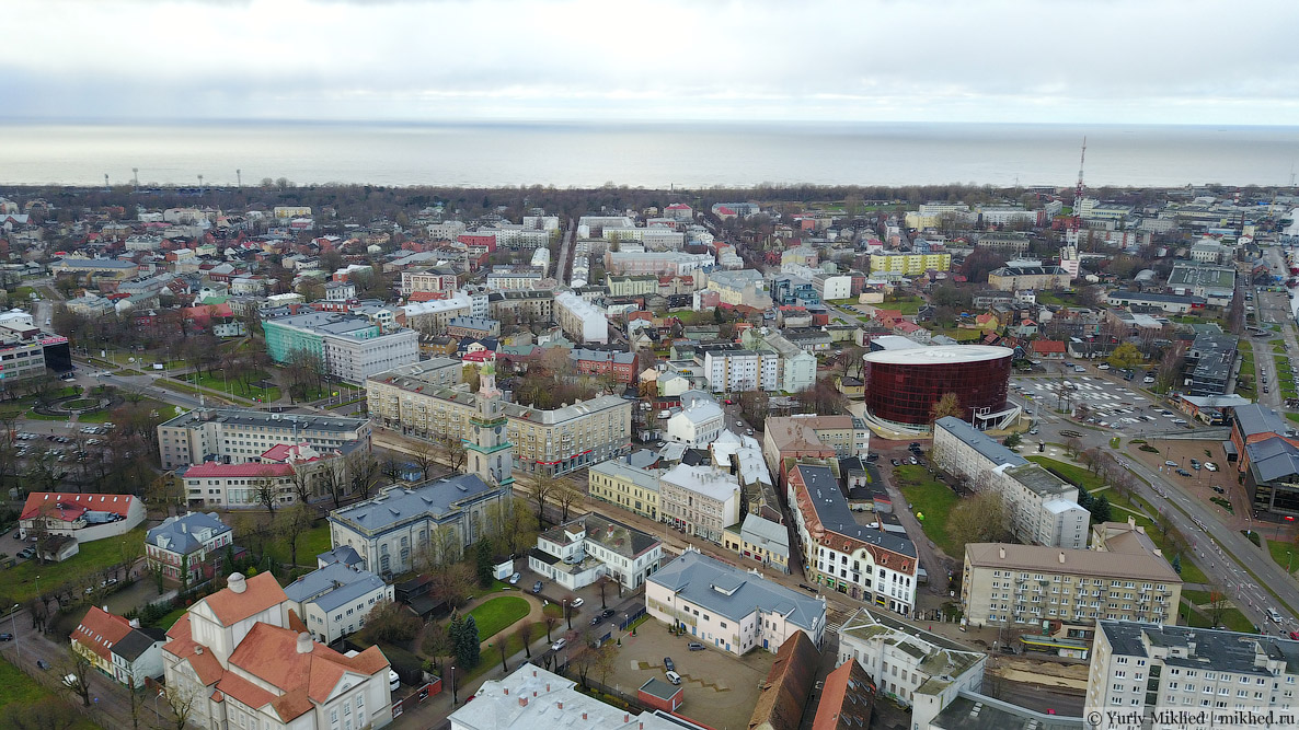
A park area stretches along the beach.
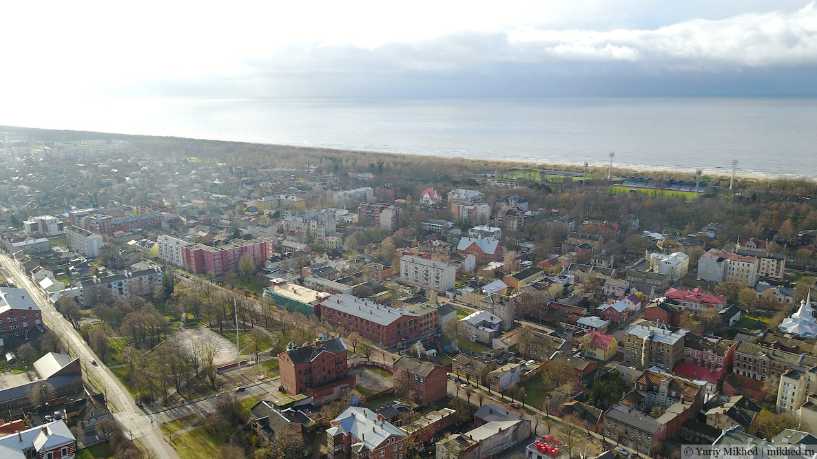
Southern part of the city.
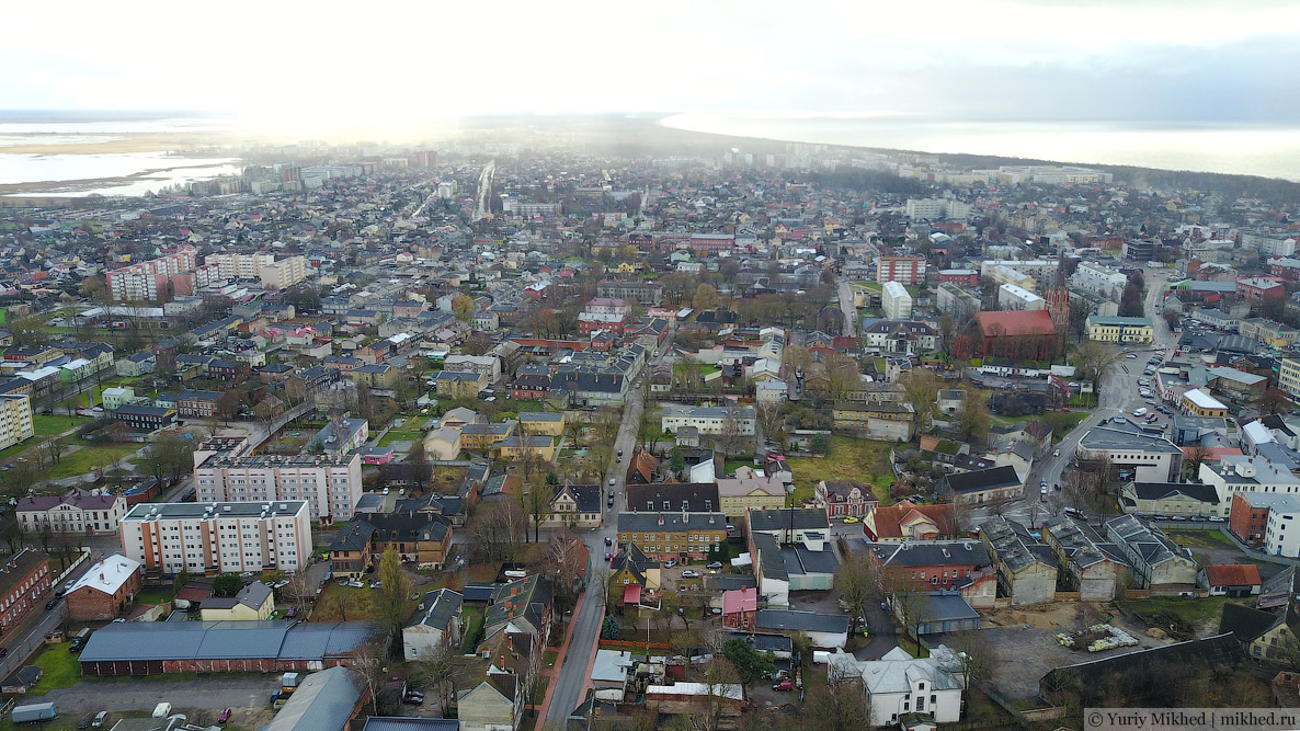
Lake Liepāja is located on the eastern side. The lake is large in area but shallow.
* * *
St. Joseph's Roman Catholic Cathedral (Neo-Romanesque style, 1911).
Holy Trinity Lutheran Cathedral (Baroque), built in 1742–1758, reconstructed in 1865–1866.
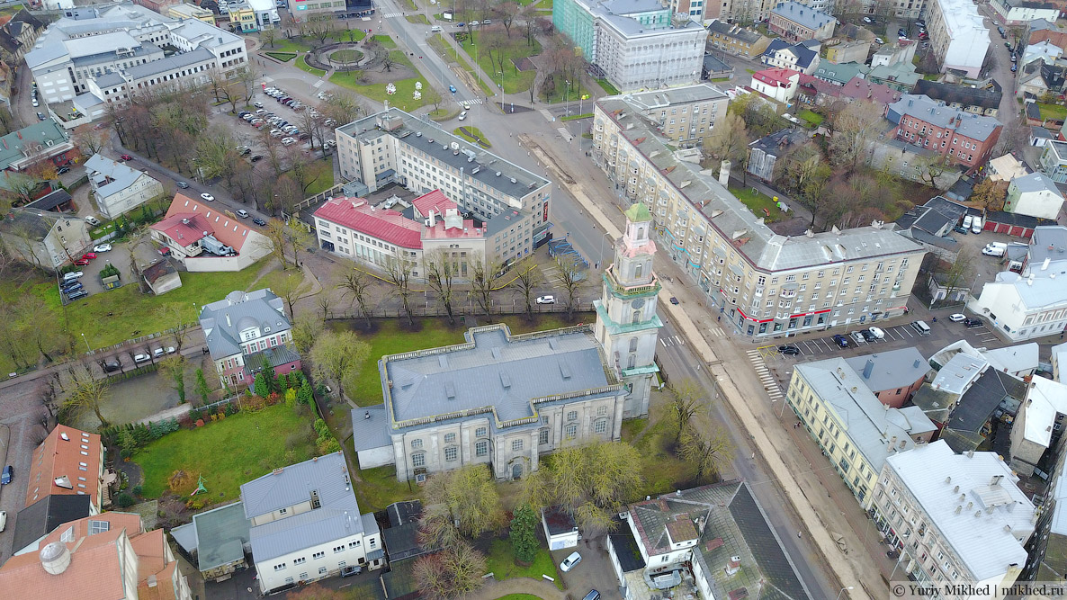
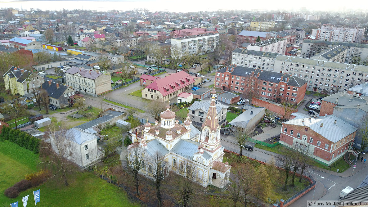
An Orthodox church with the same name is located a five-minute walk away, built in 1867–1868.
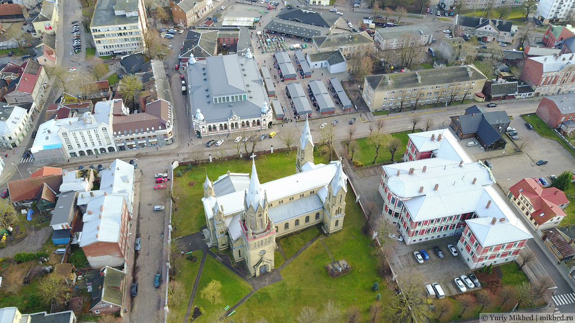
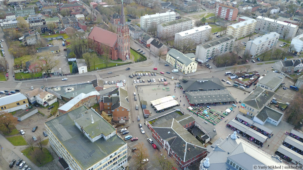
St. Anne Lutheran Church next to the city market.
All of these cathedrals (except the Orthodox one, of course) house pipe organs.
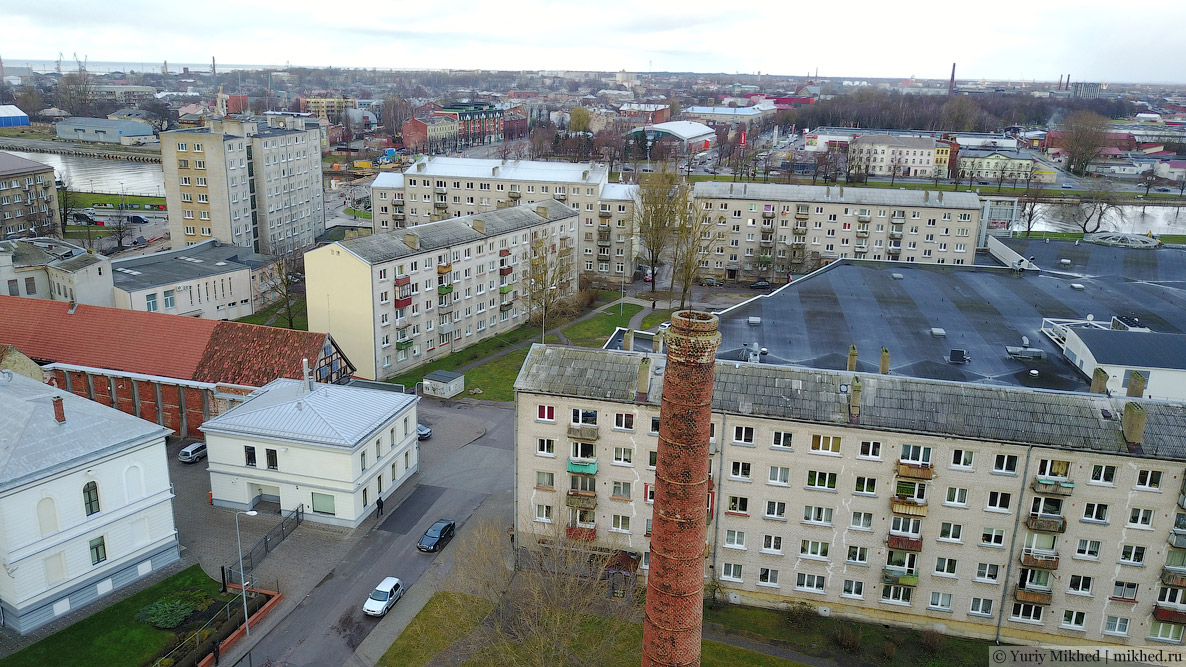
Soviet five-story apartment buildings.
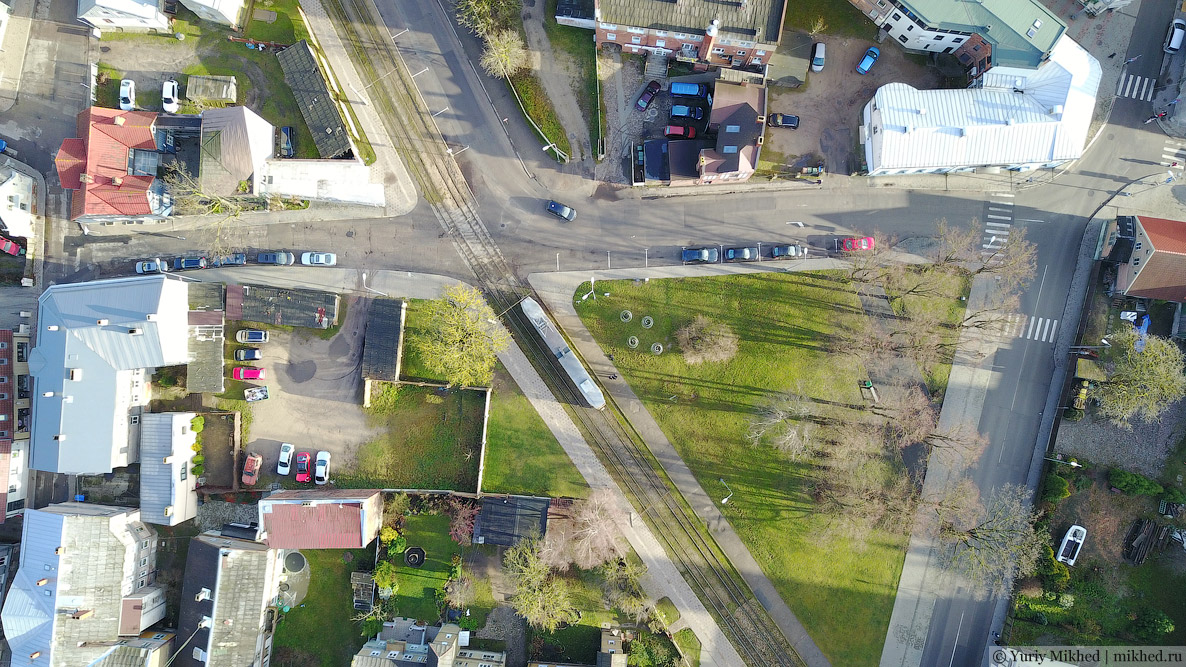
SimCity.